Rock County is located on the southern edge of Wisconsin and is one of the most productive agricultural areas in the state, with 300 million dollars of agricultural commodities sold in the county annually (sourced from Rock Co Land and Water Dept). Rock County has over 380 miles of rivers and streams including the Rock River, Sugar River and Lake Koshkonong. Portions of these water bodies are impaired by suspended sediment and high total phosphorus impacting dissolved oxygen content. Nonpoint source water pollution is the reason for most surface and groundwater pollution in Rock County, over 50% of nonpoint pollution comes from agricultural sources (Rock County Land & Water Resources Management Plan). Rock County has 4 distinct geographic regions with different topographies, drainages, and soil types, each with slightly different water quality risks.

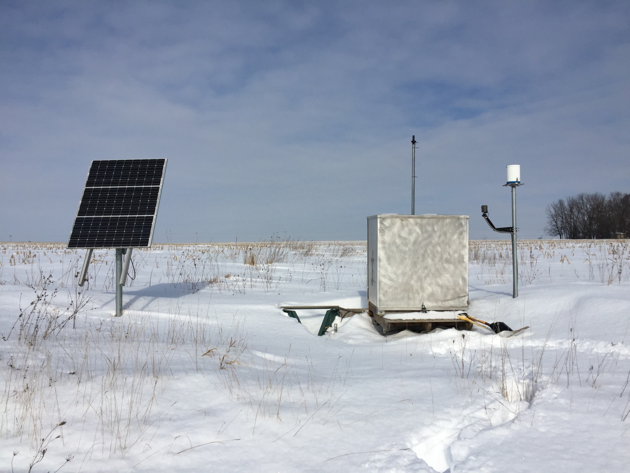
In 2014, the University of Wisconsin-Madison Division of Extension Discovery Farms began a multi-year monitoring study on two farms (four basins) within Rock County to determine how different cropping systems and management practices impact surface water quality.
Read the full monitoring report from this in-depth study on the Discovery Farms Website.
 ▶ Watch: 4th Annual Discovery Farms Multi-State Webinar
 ▶ Watch: Grazing and Water quality, Lessons learned from edge-of-field research
 A cost-effective approach for on-farm tile monitoring
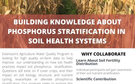 Research opportunity: Building knowledge about phosphorus stratification within Wisconsin’s soil health systems